
Description
Navionics+ Regions – North – Preloaded MSD Format
- Marine and lake charts
- One foot contours
- Daily updates and advanced features for one year
Boat safer and fish smarter. Max-detailed cartography for marine and lakes that is updated daily, makes Navionics+ the perfect choice for cruising and fishing. Get Nautical Chart, the most accurate navigational data SonarChart and trade, an exclusive 1 ft HD bathymetry map and Community Edits, local content from the community. Daily updates and advanced features are included for one year. Simply plug your card into your PC/Mac and register at navionics.com. USB reader provided.
- Preloaded with Nautical Chart and SonarChart and trade Community Edits are downloadable
- Enjoy advanced features: SonarChart and trade Live, Advanced Map Options and Plotter Sync.
- Enhance SonarChart and trade with sonar logs you collect.
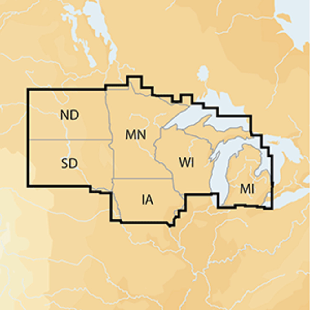
NAV+NO: North Coverage Details
- IA, MI, MN, ND, SD and WI
- 7,700 lakes and growing
- All of Lake of the Woods, Rainy Lake and US waters of the Great Lakes