
Description
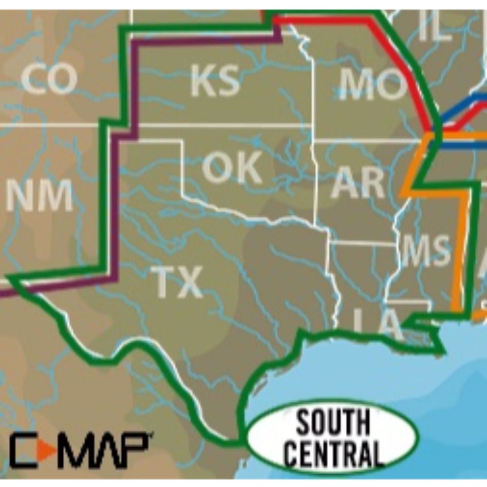
High-Resolution Bathymetric (HRB) bottom contour and fishing charts to help anglers target fish-holding coastal and offshore structure more effectively. The C-MAX Lakes South Central Max-N+ Chart is on a SD/Micro-SD Card, with vector charts, hi-res bathy data, tides and currents, and port info. This will work on B and G, Simrad, and Lowrance only.
Dynamic Tides and Currents predictions that help anglers determine the best times to hit productive rips, shoals, rocks and channels
Aerial photos and worldwide database of Marina Info/Port Services great for cruisers, sailors, and traveling fishermen
Sport Fishing Data for valuable information on wrecks and reefs, including composition, depth, orientation and other details to fish more effectively
High-resolution satellite imagery to enhance situational awareness and improve safety
Dynamic Raster Charts for a traditional paper chart look with the ability to pull up information on important chart objects
Shaded relief vector chart presentation highlights specific depth contours, valuable when cruising or fishing