
Description
4D Lakes NA-D071 West US Lakes
C-MAP light marine and nbspcharts have long been held in high regard by boaters for their combination of and nbspaesthetically pleasing vector electronic charts based on reliable sources. When buying C-MAP, boaters can be assured that the charts they are getting are of the highest standard.
C-Map 4D will provide boaters with charts packed additional features such as raster chart views or Satellite images to maximize situational awareness.
Coverage Area:
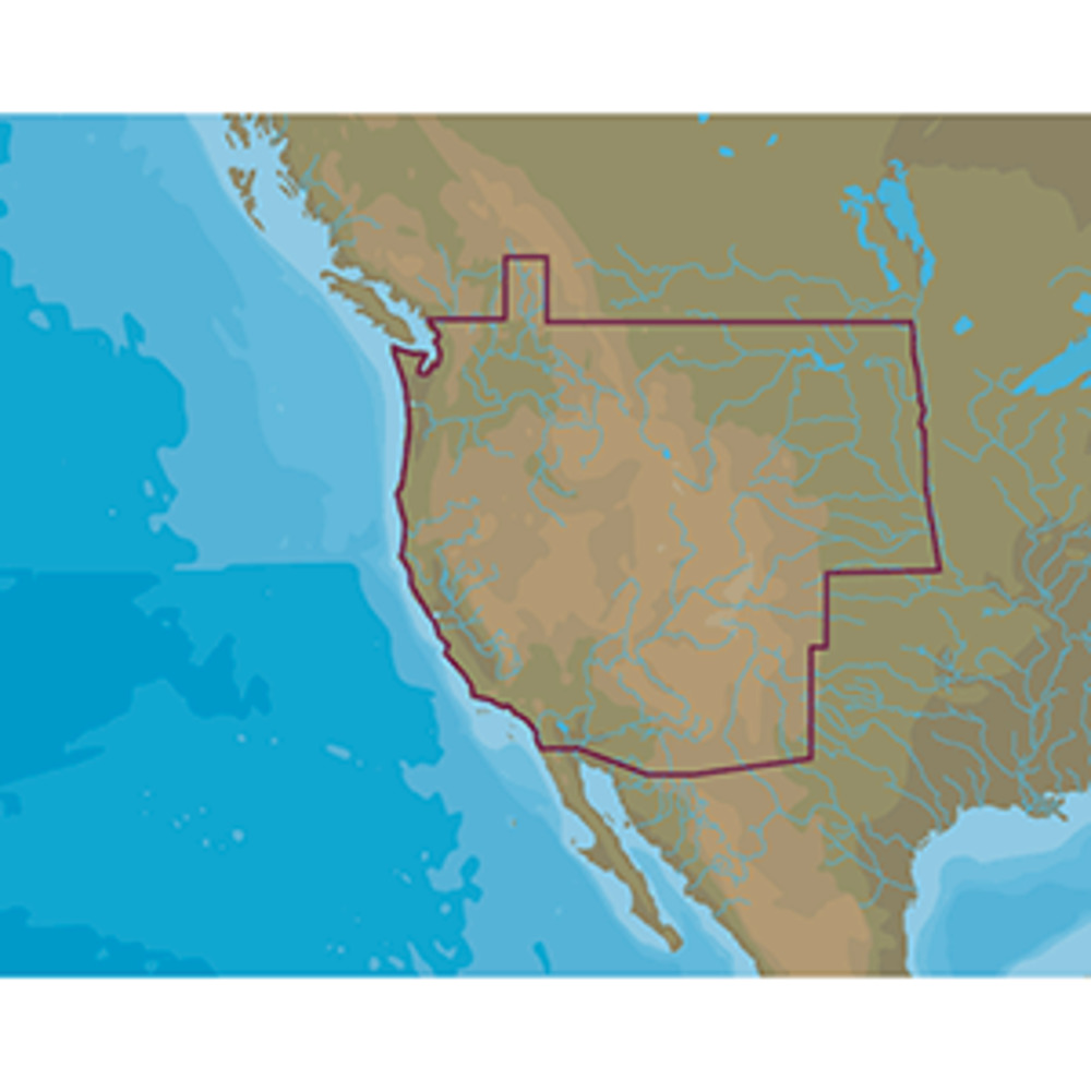
USA lakes and rivers of the west US region, including but not limited to:
- By USA state, charting available for: and nbspWashington, Oregon, California, Nevada, Idaho, Utah, Arizona, New Mexico, Colorado, Wyoming, Montana, North Dakota, South Dakota, Nebraska
- Pacific Ocean coast from California to Strait of Juan de Fuca and Puget Sound
- Major rivers such as (but not limited to): Columbia River, Kootenay River, Nehalem River, San Joaquin River, Siuslaw River, Snake River, Willamette River, Yaquina River, and nbsp
- Lakes and reserviors such as (but not limited to): Arrowhead Lake, Bitter Lake, Bluff Lake, Cascade Lake, Clark Lake by Spokane, Cooper Lake, Dumbbell Lake, Echo Lake, Frying Pan Lake, Garrison Lake, Great Salt Lake, Green Lake, Kalina Lake, Kootenay Lake, Lake Lytle, Lake Oahe, Lake Sakakawea, Laurel Lake, Long Lake, Medicine Lake, Mirage Lake, Pigors Lake, Sandy Lake, Sweetwater Lake, Town Lake, Twin Lake, Waldo Lake, and nbspmany hundreds additional lakes. Francis Case Res, Green Mountain Res, Lewis and amp Clark Res, Rink Creek Res, Split Rock Res, etc.